
Skip to content
Back to Maps & Prints

Maps & Prints

Ottoman Empire in Europe, 1700 — Historical Map Print

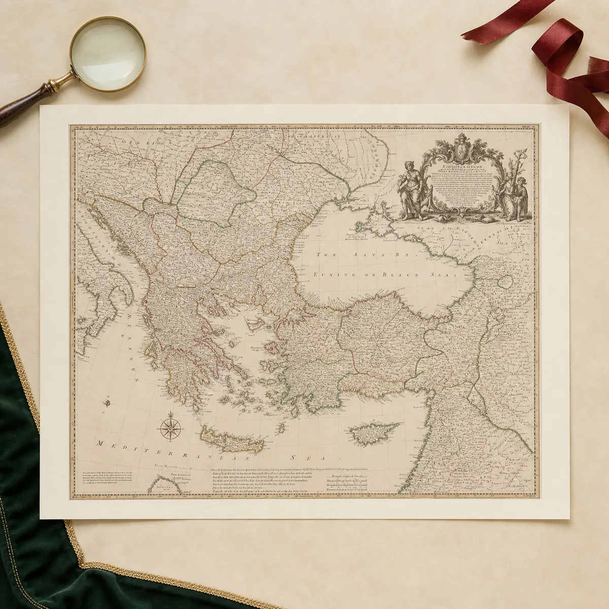
A 16 × 21-inch unframed matte-paper reproduction based on an Edward Wells map of the Ottoman Empire in Europe, dating from around 1700.

£69.00

IN STOCK

CuratedPresented within the Ottoman Research heritage collection.
Historically informedDesigned around the site’s archival and heritage visual language.
Clear product detailsSpecifications shown only where product data is available.
Transparent presentationReplica and reproduction status is disclosed where applicable.

ABOUT THIS PRODUCT

Product Overview

An unframed modern reproduction based on a historical map identified by the supplier as an Edward Wells map of the Ottoman Empire in Europe, dating from around 1700. The 16 × 21-inch print is produced on matte paper.

Modern historical reproduction. This product is not an original antique map or historical document.

PRODUCT INFORMATION

Product Information

Historical Context

An unframed modern reproduction based on a historical map identified by the supplier as an Edward Wells map of the Ottoman Empire in Europe, dating from around 1700. The 16 × 21-inch print is produced on matte paper.

Modern historical reproduction. This product is not an original antique map or historical document.

15+ YearsInternational Client Experience

116+ ProjectsCompleted Projects

2,608+ HoursProfessional Research & Translation

50,000+ RecordsHistorical Records Reviewed

Private & ConfidentialDiscreet Client Service

PRIVATE HISTORICAL & ARCHIVAL RESEARCH

Need research beyond the product?

Start Your Enquiry →